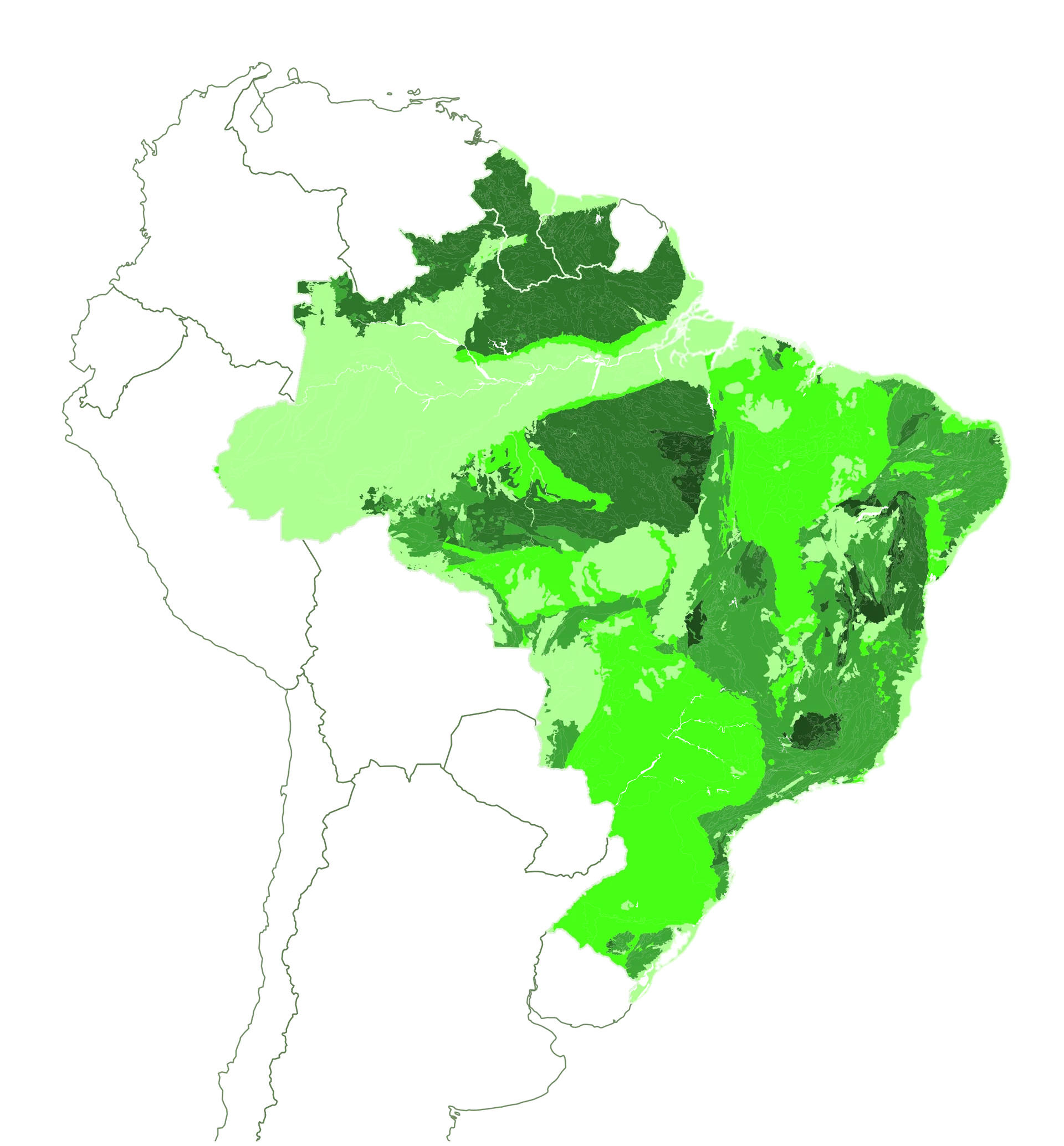
Territorial Due Diligence —
 Brazil ·
 Guyana ·
 Suriname
Brazil ·
Guyana ·
Suriname
Territorial Intelligence for South American Mineral Assets
The constraint you don't map becomes the risk you can't price.
Imageo reads the regulatory, land tenure and geological constraints on Brazilian, Guyanese and Surinamese mineral assets — mapped the way TSX/TSXV, ASX, AIM or the NYSE expect them read under NI 43-101, JORC, PERC or S-K 1300, built on Azura™, our proprietary territorial intelligence engine, before a Qualified Person or Competent Person has to find out the hard way.
3
Jurisdictions covered
13
Azura™ constraint dimensions
4+
Reporting standards — NI 43-101, JORC, PERC, S-K 1300
3
Languages — English, Portuguese, Dutch